
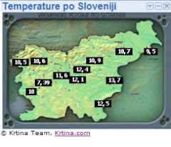
Še padec temperature iz 28,6.°C,na 7,1.°C, v manj kot 24-urah.
Vremenska postaja Orešje pri Ptuju,padec temperature ob prehodu hladne fronte je znašal 21,5°C.

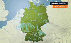
Vremenske karte(GFS)


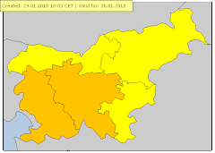
Meteorologi so izdali naslednja opozorila
12. maj 2012
Možne močnejše nevihte, močna burja
Izdano 12.5.2012 ob 6.uri
Danes popoldne in zvečer bodo ob izraziti hladni fronti možni močnejši nalivi, sunki vetra ter krajevno tudi toča. Danes zvečer bo na Primorskem zapihala močna burja, katere najmočnejši sunki bodo presegli 100 km/h.
Meteoalarm za Severovzhod
velja od 12.05.2012 13:00 CET Do 12.05.2012 20:00 CET
Nevihte Stopnja ogroženosti: Oranžna
en: Slovenia / North-East : en: Heavy thunderstorms are possible, accompanied by local intense precipitation, hail and gusty winds. sl: Slovenija / severovzhod : sl: Možne so močnejše krajevne nevihte z nalivi. točo in močnejšimi sunki vetra.
velja od 12.05.2012 16:00 CET Do 12.05.2012 23:00 CET
Veter Stopnja ogroženosti: Rumena
en: Slovenia / North-East : en: maximum wind speed : from 50 to 70 km/h. en: sl: Slovenija / severovzhod : sl: maksimalna hitrost vetra : od 50 do 70 km/h. sl:
velja od 12.05.2012 13:00 CET Do 12.05.2012 23:00 CET
Dež Stopnja ogroženosti: Rumena
en: Slovenia / North-East : en: rainfall : from 15 to 25 mm/6h. en: sl: Slovenija / severovzhod : sl: količina padavin : od 15 do 25 mm/6h. sl:
Opozorilo Estofex
Storm Forecast
Valid: Sat 12 May 2012 06:00 to Sun 13 May 2012 06:00 UTC
Issued: Sat 12 May 2012 03:50
Forecaster: VAN DER VELDE
A high-end level 1 was issued for parts of Russia mainly for tornadoes and severe convective wind gusts.Valid: Sat 12 May 2012 06:00 to Sun 13 May 2012 06:00 UTC
Issued: Sat 12 May 2012 03:50
Forecaster: VAN DER VELDE
A level 1 was issued for northern Spain, northwestern Italy mainly for isolated large hail.
A level 1 was issued for northeastern Italy, Slovenia, Croatia, Hungary mainly for excessive convective precipitation.
A level 1 was issued for the southeastern Balkan mainly for isolated large hail.
SYNOPSIS
A massive invasion of cooler air is led by a cold front that stretches from northern Spain to the Alpine region, to northern Russia, where a low pressure area moves northeastwards. A rather strong pressure gradient is caused by this low and a more than 1040 hPa high pressure area WSW of Ireland. In the warm air ahead of the front, moisture and steep lapse rates create a zone of MLCAPE, in some places likely more than 1000 J/kg. Except for frontal lifting itself, mainly on the south side of the Alps, there are hardly any dynamic sources of lift.
A weak low over western Turkey creates a convergence zone over the southeast tip of the Balkan.
The jetstream lies decidedly over the cold airmass north of the cold front, but enhances deep shear conditions also slightly on the unstable warm side of the front. It has a maximum near the low over far northern Russia, where models also forecast slight CAPE:
DISCUSSION
...northern Russia areas...
Marginal MLCAPE values are forecast by HiRLAM and GFS models in two areas in the warm sector: close to the low and at a secondary occlusion marking warmer air from the south. The northern area has a jetstreak causing 25-45 m/s of 0-6 km shear in a large region, as well as more than 15 m/s 0-1 km shear vectors, and more than 300 m2/s2 0-3 km SREH in the southern area. This creates potential for supercell storms capable of producing tornadoes, possibly a strong one, as well as large hail, and severe wind gusts (mean 1-3 km speed: 25 m/s) near this secondary occlusion. As instability is quite marginal, and dynamic forcing only strong in the north, confidence for a widespread severe threat is just lacking a bit for a level 2.
Further to the south along the cold front storm motion and shear are aligned with the front which reduces the chance of a severe squall line, but some bowing segments may locally produce severe gusts.
...northern Spain, northwestern Italy...
15 m/s deep layer shear and shallow warm cloud depth combined with quite decent CAPE caused by a layer of steep lapse rates (e.g. Santander sounding), which can lead to isolated large hail events. These regions are under poor forcing, so no widespread severe weather threat appears present.
...northeastern Italy, Slovenia, Croatia, Hungary...
As the cold front wraps around the Alps, its significant low level forcing will trigger storms for a long period in the same region, with calculated storm motion vectors of only a few meters per second and possible training cells. This leads to a threat of excessive precipitation with local flash floods. SREH and low level shear increase during the evening and some cells can then become mesocyclonic with chance of large hail. Low level shear seems too weak for tornado chances.
...southeastern Balkan...
With a northeasterly flow moist air is advected in this region, for which models predict good CAPE and slightly enhanced shear conditions with 100-200 m2/s2 SREH. Isolated large hail is forecast, and locally cells may move slowly or train under the influence of a convergence line, with rain sums possibly accumulating to several tens of mm, locally.
Čejs(ptujsko polje) 12.5.2012
Iz smeri Maribora se je proti Prlekiji(Mostje,Hlaponci,Polenšak...)pomikala močna nevihtna z močnimi nalivi in drobno točo(max 1cm).
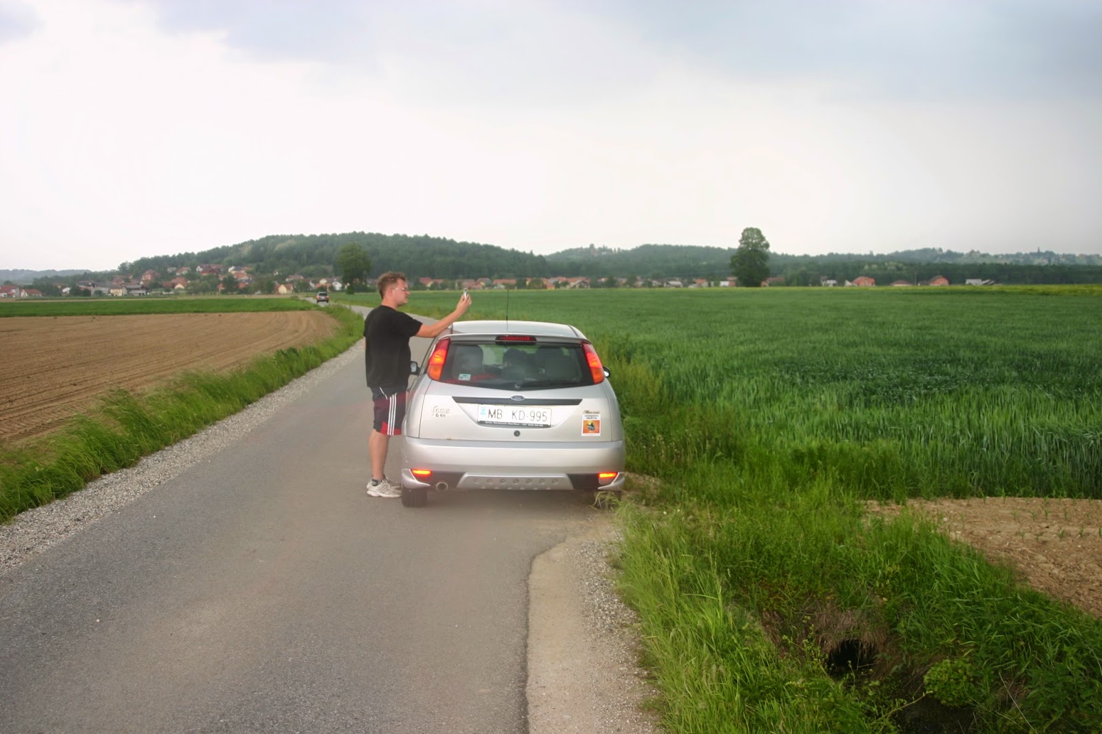
Zato smo se ob 14.00 uri odpravil na kratek čejs.Nevihto smo že malce zamujali,tako smo zapeljali v najhujši naliv in seveda točo,ki pa je na srečo ni bilo veliko.Slike žal niso najboljše kvalitete
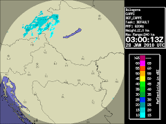
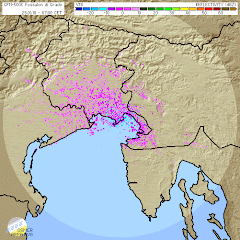
Radarska slika padavin
Nevihta še v smeri Maribora.
Pogled na radarsko sliko razkrije da se multicelična nevihta,pomika v smeri ptujskega polja in prlekije.Nevihta se je na ptujskem polju krepila in za krajši čas verjetno prerasla v supercelico.
Med vožnjo še pogled na radarsko sliko padavin.
Sunki vetra so presegali 50km/h
Pogled na nevihto iz ptujskega polja(smer Polenšak)
Tu se je začel formirat inflow tail.
V središču multicelične nevihte,so bili sunki vetra krepko čez 50km/h.
Močni naliv v Mostjeh ter drobna toča.
Še posledice hudega naliva.
Nevihta je že bila na hrvaški strani ,kjer je oslabela.
In pokazalo se je sonce. Za konec še en pir.
Posnetki neurja.
http://www.youtube.com/watch?v=nkMmmIk3Emk
http://www.youtube.com/watch?v=KrilxZjggYo
http://www.youtube.com/watch?v=B7GWuvO5ks4
http://www.youtube.com/watch?v=eJr-tA28brc
http://www.youtube.com/watch?v=AYf30Em9qNY






Ni komentarjev:
Objavite komentar